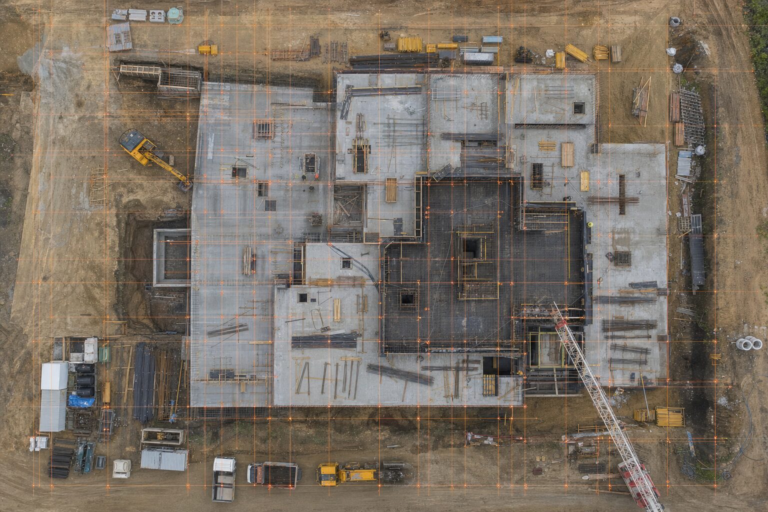
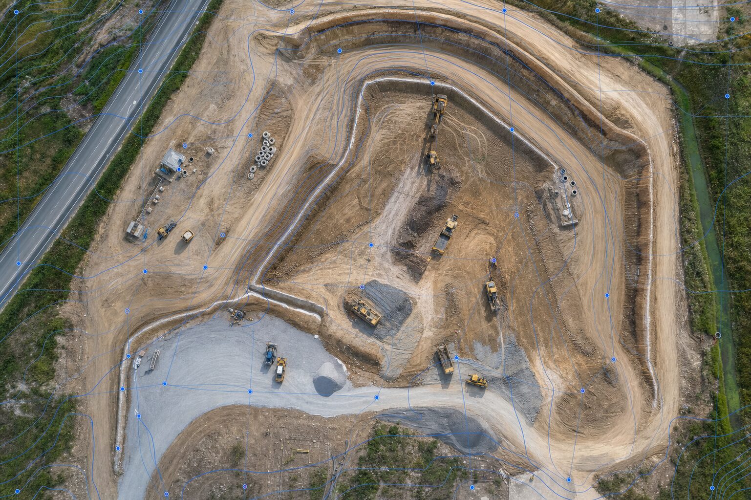
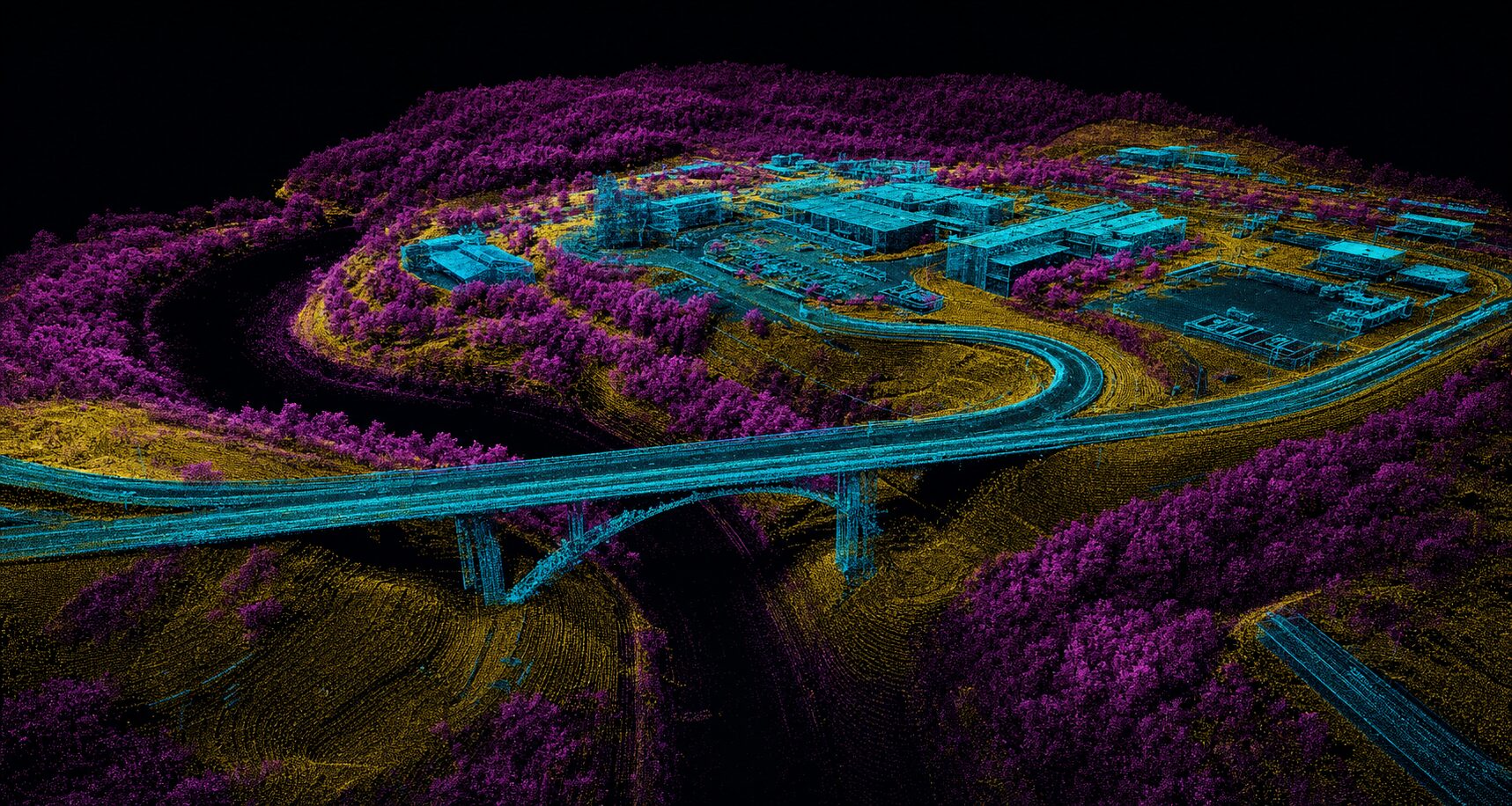
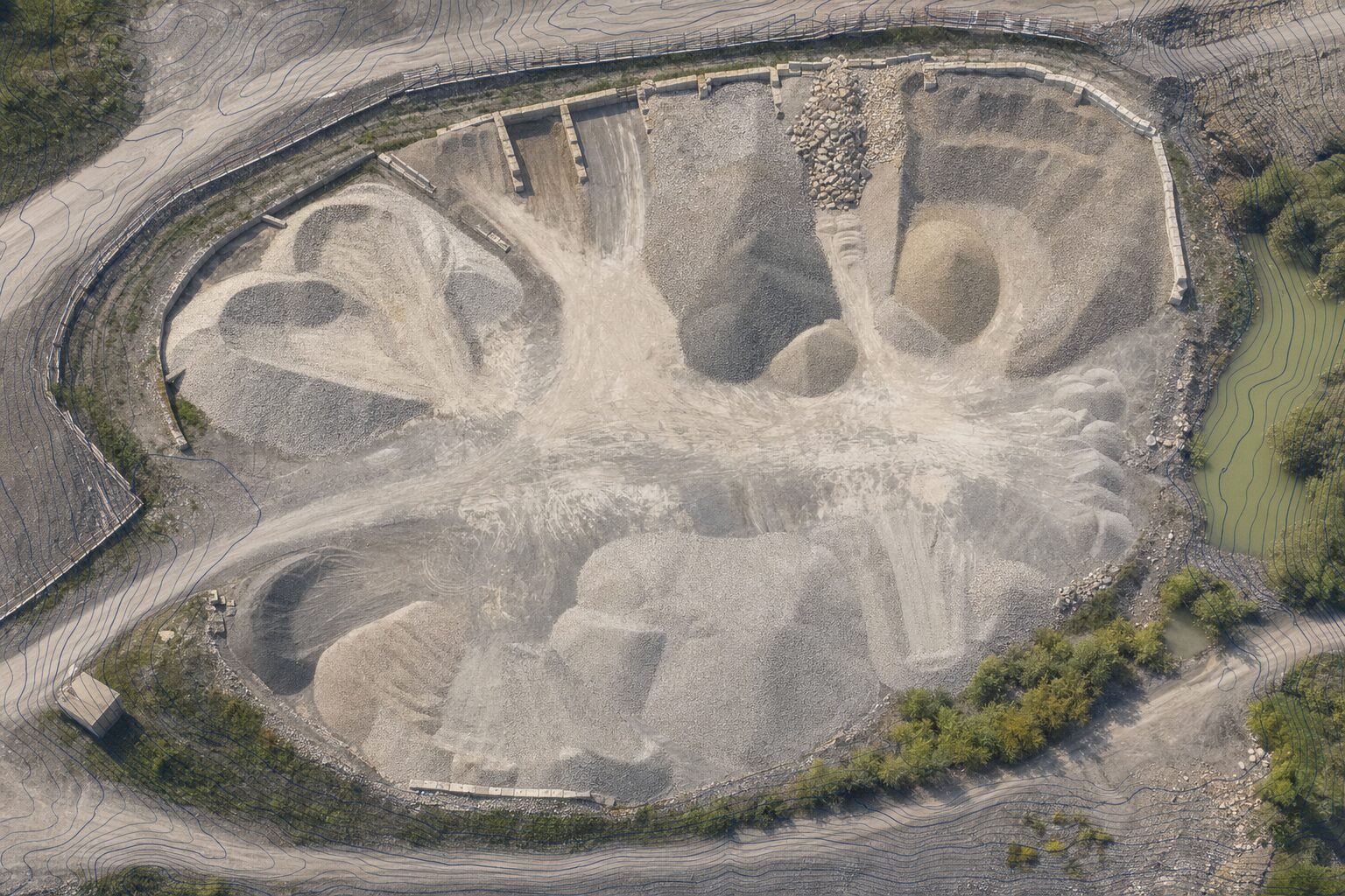
Skip to content
Completed projects

Real deliverables.
Real sites.

A cross-section of UAS mapping work across the Kansas City metro — orthomosaics, LiDAR point clouds, multispectral crop health analysis, construction monitoring, volumetric surveys, and infrastructure inspections, all processed to engineering-grade standards.

9 Projects shown
6 Service types
500+ Acres captured
NDAA Compliant available
Top-down orthomosaic map of construction site with contour lines overlaid Photogrammetry
Riverside, MO · 2025

Large Area — Orthomosaic & Topo Survey

Pre-event orthomosaic for large industrial area. 1-ft contour set, and digital surface model delivered in 3D-compatible format.

  • Orthomosaic (GeoTIFF)
  • 1-ft Contours
  • DSM / DTM
  • Civil 3D DWG
±0.8 in horizontal accuracy (RTK)
Classified LiDAR point cloud rendered showing terrain, infrastructure, and vegetation layers LiDAR
Clay County, MO · 2025

Utility Corridor — LiDAR Mapping & Bare-Earth DTM

DJI Zenmuse L2 LiDAR survey over a 4.2-mile utility corridor with significant tree canopy. Classified point cloud (ground, vegetation, structures, noise) and bare-earth DTM delivered for design engineering. Vegetation penetration allowed accurate ground surface extraction without manual clearing.

  • Classified .LAS
  • Bare-Earth DTM
  • Corridor Cross-Sections
  • Intensity Raster
4.2 mi corridor with full canopy penetration
Aerial view of aggregate stockpiles at industrial quarry with contour overlay and volume callouts Volumetrics
Wyandotte County, KS · 2025

Aggregate Quarry — Monthly Stockpile Volume Survey

Recurring monthly volume survey for a sand and gravel operation with seven individual stockpiles. Each flight produces a volume summary report with per-pile measurements used for inventory management, customer billing, and royalty reporting. Single-day turnaround from capture to delivered report.

  • Per-Pile Volume Calcs
  • Summary Report (PDF)
  • Orthomosaic
  • Month-over-Month Delta
7 stockpiles measured per flight
Commercial flat roof drone inspection showing HVAC units and membrane condition at dusk Inspection
Overland Park, KS · 2025

Commercial Flat Roof — Condition Assessment

Full-perimeter and overhead drone inspection of a 34,000 sq ft commercial flat roof for an insurance carrier. Delivered an annotated PDF report with geo-tagged condition imagery, HVAC equipment documentation, and drainage observation notes — all without placing personnel on the roof.

  • Annotated PDF Report
  • Geo-Tagged Imagery
  • Condition Summary
  • Asset Register
34k sq ft inspected — no ladders required
Drone inspection of concrete bridge deck and pier showing close-up structural imagery for condition assessment Inspection
Jackson County, MO · 2026

County Road Bridge — Structural Condition Inspection

Close-proximity visual inspection of a two-span concrete bridge — deck, soffits, piers, and abutments — flown under bridge clearance to capture full soffit coverage. Delivered a geo-tagged imagery set and annotated condition report identifying spalling, efflorescence, and joint seal deterioration, enabling the county to prioritize maintenance without a bucket truck or lane closure.

  • Geo-Tagged Imagery Set
  • Annotated Condition Report
  • Defect Location Map
  • Priority Maintenance Summary
0 lane closures — full soffit coverage achieved
Multispectral NDRE map of soybean field with uniform canopy stress pattern in orange indicating iron deficiency chlorosis Multispectral NDAA § 848
Miami County, KS · 2025

Soybean Field — Early-Season Stress Detection (ACSL SOTEN)

V5 early-season multispectral survey over 88 acres of soybeans using the ACSL SOTEN to identify iron deficiency chlorosis (IDC) zones before visual symptoms were apparent to the grower. NDRE-based stress maps guided a targeted foliar iron application, allowing intervention before yield impact. NDAA § 848–compliant platform — suitable for government-adjacent agriculture contracts.

  • NDRE Stress Map
  • IDC Zone Shapefile
  • Grower Summary Report
  • GeoTIFF Package
88 acres — early stress detected at V5
3D photogrammetric model of building foundation under construction with measurement overlays 3D Model
Kansas City, KS · 2025

Industrial Facility — As-Built 3D Documentation

Post-construction as-built capture of an industrial processing facility for owner records and facility management. Photogrammetric 3D mesh model delivered alongside a georeferenced orthomosaic and PDF exhibit set. The model serves as a permanent as-built baseline for future renovation planning.

  • 3D Mesh Model
  • Orthomosaic
  • PDF Exhibit Package
  • As-Built Reference
~1 cm GSD at typical capture altitude

Have a project like these?

Tell us the site, scope, and timeline — we’ll have a quote back to you within one business day.